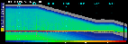
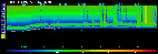
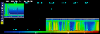
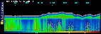
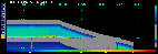
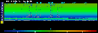
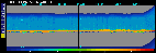
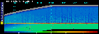
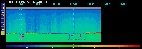
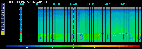
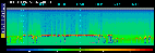
RF12: SABL in ACE-1

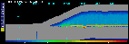
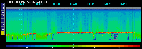
This is an active image map. Click on a red square to call up the image corresponding to that portion of the flight track.
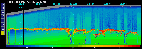
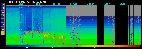
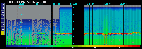
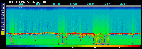
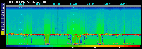
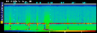
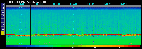
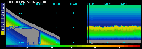
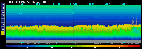
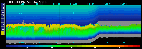
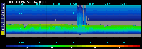
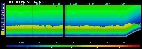
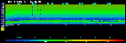
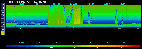
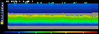
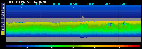
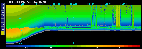
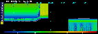
| 15-Minute Images from SABL |
RF12, 22:44 |
RF12, 22:59 |
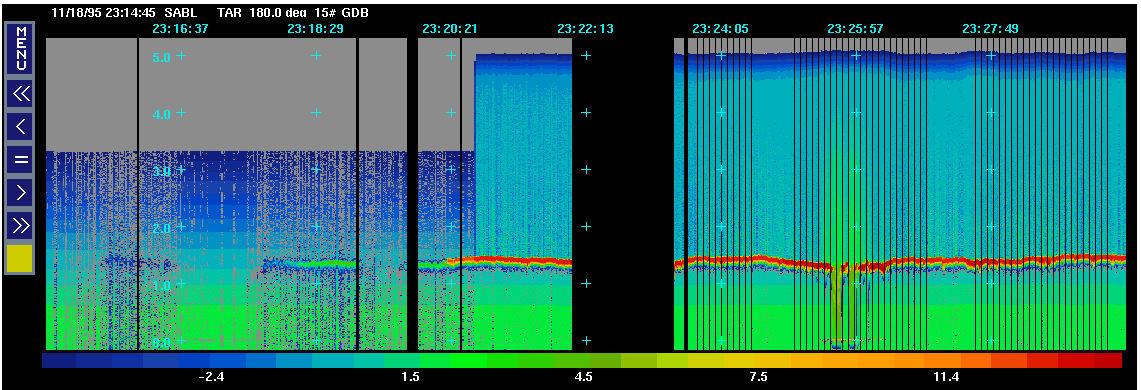
RF12, 23:14 |
RF12, 23:29 |
RF12, 23:44 |
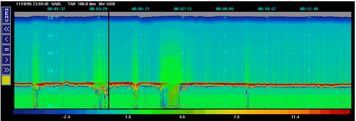
RF12, 23:59 |
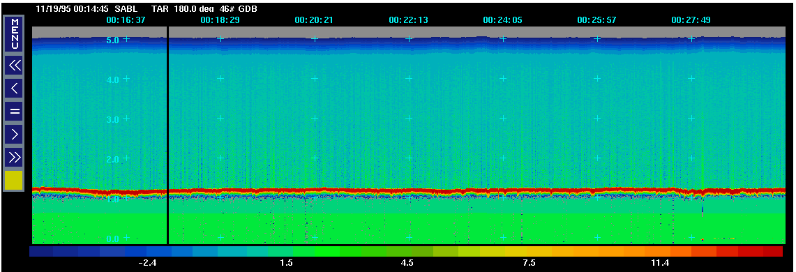
RF12, 00:14 |
RF12, 00:29 |
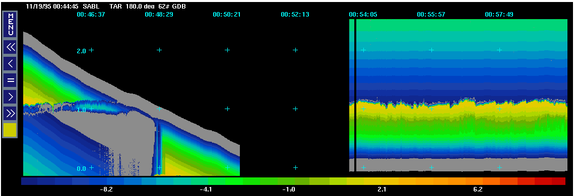
RF12, 00:44 |
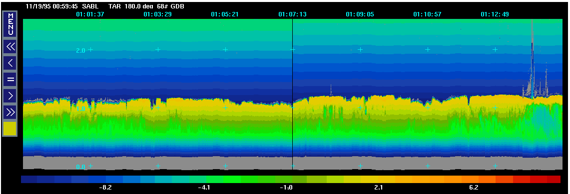
RF12, 00:59 |
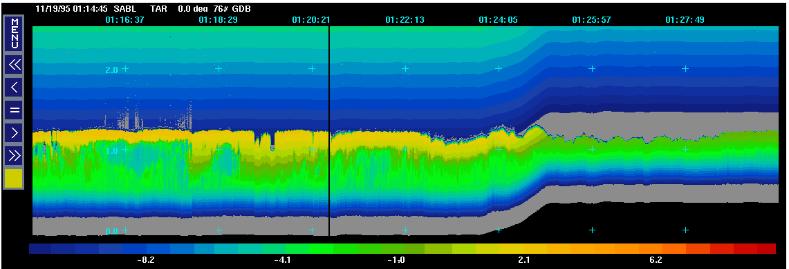
RF12, 01:14 |
RF12, 01:29 |
RF12, 01:44 |
RF12, 01:59 |
RF12, 02:14 |
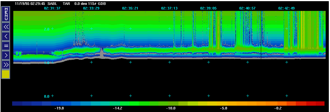
RF12, 02:29 |
RF12, 02:44 |
RF12, 02:59 |
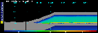
RF12, 03:14 |
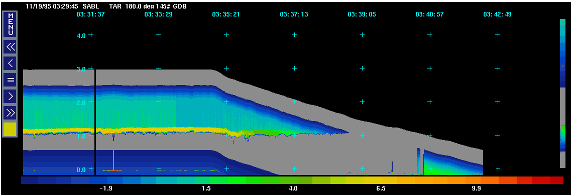
RF12, 03:29 |
RF12, 03:44 |
RF12, 03:59 |
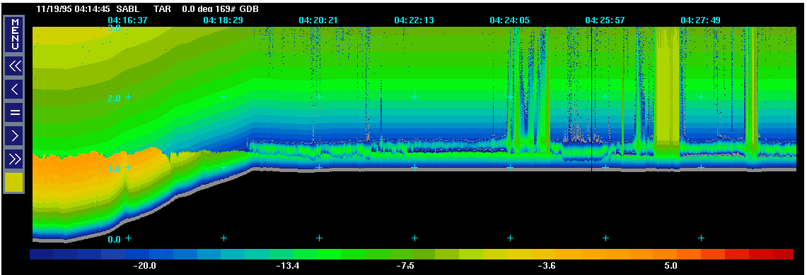
RF12, 04:14 |
RF12, 04:29 |
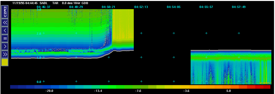
RF12, 04:44 |
RF12, 04:59 |
RF12, 05:14 |
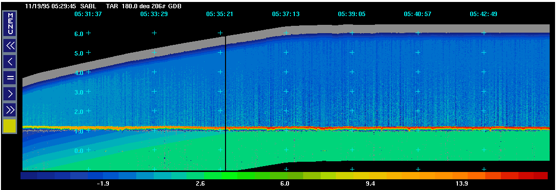
RF12, 05:29 |

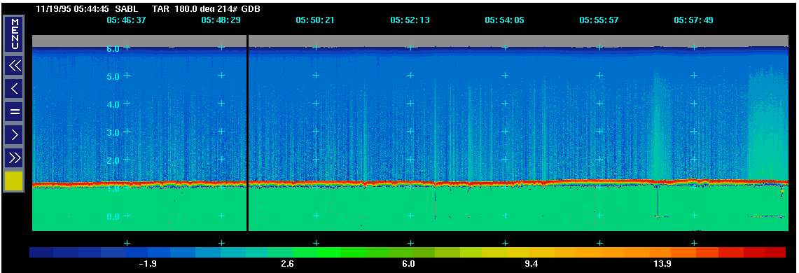
RF12, 05:44 |
RF12, 05:59 |
RF12, 06:14 |
RF12, 06:29 |
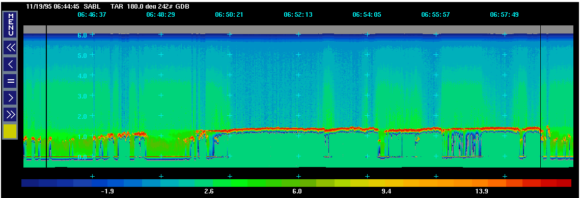
RF12, 06:44 |
Document Design and Creation:
Kaisa Johnson, / NCAR Atmospheric Technology Division
Flight Tracks and Data Preparation:
Susan Stringer, / NCAR Atmospheric Technology Division
SOLO Display Software by:
Dick Oye and Sherrie Smith, / NCAR Atmospheric Technology Division
Created:Mon Feb 10 19:50
Last Modified: Mon Feb 10 19:50